Making Maps for the News | Behind the Map
GIS After Dark presents "Mapping and Cartography at Esri"
NACIS 2022: Elevate Your Halo Game - Lauren Tierney
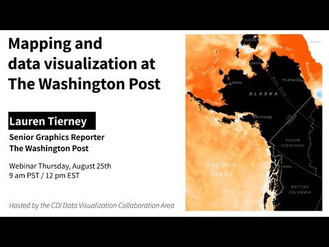
CDI Data Viz Webinar: Mapping and data visualizations at The Washington Post with Lauren Tierney
T1 EP06 Contar historias con mapas con Lauren Tierney
NACIS 2021: How to edit your own maps
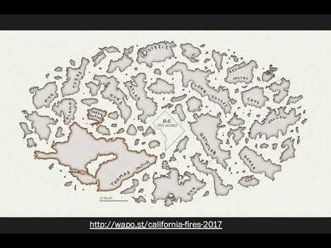
Portland Cartography Symposium 2020
NACIS 2019: Drone mapping at The Washington Post
NACIS 2018: Mapping the fiery chaos of the 1968 riots
NACIS 2017: National Geographic Magazine's Cartography of Antarctica
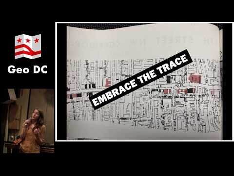
GeoDC 2019: Mapping at the Washington Post
Maps We Love: Lauren Tierney - California Wildfires
LIVE: Making Maps on Deadline: Tips and Tricks
INFOVIS Mexico City 2018 introduction video
NACIS 2018: North is a societal construct: when to break the rules with your map
NACIS 2018: Behind the Scenes of the Atlas of Design, Volume 4
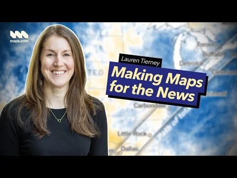
Making Maps for the News | Behind the MapWhat’s it like to map maps in a newsroom? Hear from Lauren Tierney, who used to work at the Washington Post and National Geographic, about creating maps at the speed of breaking news. This interview with Lauren Tierney, Senior Product Manager of Mapping and Cartography, explores the role of cartography in modern newsrooms. Learn about some of Lauren’s favorite mapping projects and what a typical day in a newsroom is like. And don’t miss her tips for aspiring cartographers who want to work in journalism. About Maps.com: Maps.com curates the world’s most compelling and fascinating maps to help you navigate topics affecting the planet and everyone who lives here. From history and geography to trending stories, Maps.com helps you find new ways to explore the world around you.
GIS After Dark presents "Mapping and Cartography at Esri"Join Johns Hopkins MS in Geographic Information Systems Program Director Cassie Hansen when she hosts Cartographer Lauren Tierney, Senior Product Manager of Mapping and Cartography at Esri. Tierney will share insights on the mapping and spatial analytics software used to elevate cartography and map visualization and reveal the design process that she uses to tell stories and communicate through maps. Before joining Esri in 2024, Tierney was a Senior Graphics Reporter at The Washington Post, as well as a Graphics Editor at National Geographic Magazine. She holds a master’s degree in geography from the University of Oregon and specializes in mapping environment, climate, wildlife, and adventure topics.
NACIS 2022: Elevate Your Halo Game - Lauren Tierney
CDI Data Viz Webinar: Mapping and data visualizations at The Washington Post with Lauren Tierney
T1 EP06 Contar historias con mapas con Lauren TierneyLa multipremiada cartógrafa e infografista en The Washington Post nos cuenta todo sobre su trabajo. Escúchalo completo aquí: https://open.spotify.com/episode/5uQm...
NACIS 2021: How to edit your own maps
Portland Cartography Symposium 2020
NACIS 2019: Drone mapping at The Washington Post
NACIS 2018: Mapping the fiery chaos of the 1968 riots
NACIS 2017: National Geographic Magazine's Cartography of Antarctica
GeoDC 2019: Mapping at the Washington Post
Maps We Love: Lauren Tierney - California Wildfires
LIVE: Making Maps on Deadline: Tips and Tricks
INFOVIS Mexico City 2018 introduction video
NACIS 2018: North is a societal construct: when to break the rules with your map
NACIS 2018: Behind the Scenes of the Atlas of Design, Volume 4
info
/
1
2
3
4
5
6
7
8
9
10
11
12
13
14
15
16
·
·
·
·
·
·
·
·
·
·
·
·
·
·
·
·